
Roswell ZIP Code Coverage
Roswell research has three confirmed ZIP contexts. The two street-delivery ZIPs are recognized as Roswell Census ZCTAs, while 88202 appears repeatedly on official local PO-box and mailing addresses. A ZCTA is a Census statistical area, not a USPS delivery boundary. The safest check for a specific address is the Postal Service result, followed by the County parcel map and City boundary information when jurisdiction matters.
| ZIP | Verified use | Postal context | Research note |
|---|---|---|---|
| 88201 | Roswell street-delivery and city-address use, including City and Library addresses | Roswell delivery ZIP | Census recognizes ZCTA 88201; USPS confirms a specific address |
| 88202 | Official Roswell PO-box and mailing addresses, including local office examples | Roswell mailing and PO-box context | Do not treat it as proof of a street parcel situs |
| 88203 | Roswell street-delivery and county administrative-address use | Roswell delivery ZIP | Census recognizes ZCTA 88203; County complex uses it |
No authoritative source in the research established 88204 or 88205 as active Roswell delivery ZIPs. Do not add them from an old list or an unverified source. The Roswell ZIP code directory should retain that gap rather than turn a postal label into a claim about service area or city jurisdiction.
Confirm a Roswell ZIP Code
Use USPS to test the full delivery address, including unit, street direction, and spelling. A city name plus a ZIP is not a substitute for that address-level check. Postal delivery names can cross unincorporated county areas or later-annexed areas, and a city-limit address can carry a different delivery ZIP. For an address question, compare USPS, the County GIS parcel map, and a City boundary or zoning source instead of relying on one label.
USPS is the official starting point for ZIP-by-address verification.
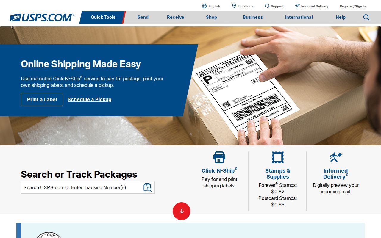
The postal lookup result should be saved with the exact address and date because delivery assignments are distinct from parcel and municipal geography.
Roswell ZIP Code Property Search
The Chaves County EagleWeb property search has a CityZip field alongside owner, account, parcel, business, structured situs-address, and legal-description searches. CityZip can narrow an address or property query. It is not a ZIP-wide resident report and does not resolve the municipal line. Combine it with the house number and street wording for a more precise parcel search.
| EagleWeb field | Search type | How it helps ZIP research | Limit |
|---|---|---|---|
| CityZip | Text field | Narrows an address or property-account search | Does not define city limits or create a ZIP roster |
| House number and street fields | Structured situs address | Pairs the ZIP with a specific property location | Street formatting still needs exact review |
| Owner name | Normal or Advanced mode | Finds property-account candidates for further verification | Owner is not automatically an occupant |
| Parcel and account number | Identifier fields | Links Assessor and Treasurer records | Needs the actual account result for field visibility |
| Legal description | Platted or PLSS fields | Connects a property to recorded-document research | Not a postal delivery label |
EagleWeb's property-search landing route is the source for the documented query controls.
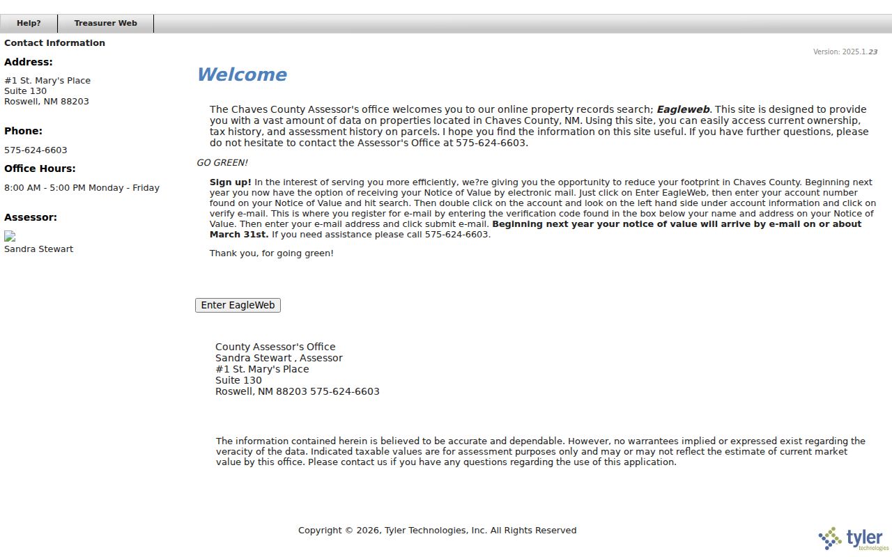
The form supports a parcel-first or exact-address method, which is safer than turning a ZIP label into a claim about people who live nearby.
When a street name has several possible formats, EagleWeb documents an asterisk after the street name as a search aid, such as Main*. Retain the result's legal description and parcel number after the search. Roswell records can use a platted subdivision, lot, block, tract, or unit description, while other land can use PLSS terms. Those land identifiers are more durable links to Clerk records than a delivery ZIP or a loosely remembered street spelling.
Finding Roswell ZIP Code Clues
A ZIP code is useful for narrowing a property or a defined city-record request, but none of the documented Roswell tools supplies an open ZIP-wide resident list. Start with the exact delivery address. Then let the parcel number, legal description, and record date guide the next search. The GIS map is visual and has documented property-support layers, but the County has not published a ZIP-wide filter mode for it.
- Verify the complete address through USPS and retain the delivery result with the date checked.
- Enter the address and CityZip in EagleWeb, then capture the matching account, parcel, situs, and legal description.
- Use the County GIS Web Map to review the parcel outline and nearby geography, then return to EagleWeb for account information.
- Use the legal description or owner-of-record context in the Clerk's recorded-document index if a dated property trail is needed.
- For a defined municipal permit or code record, send the exact address, date range, and record category through City NextRequest.
When a ZIP narrows the question to a particular road or house number, the Roswell street directory provides the separate address-focused record method.
Roswell ZIP Code Tool Limits
The County GIS Web Map is a free map-first service with parcel, surface-ownership, flood-zone, export, and print functions. It is useful for geographic context and parcel outlines, but it is not documented as a ZIP query tool. Use EagleWeb for account and owner-of-record fields, and keep the GIS result as mapping context. The two County tools answer different questions.
NMVOTE is also not a ZIP search. Its personal workflow uses a name, year of birth, and county. The paid SERVIS voter-data process can include physical and mailing address fields under the Secretary of State's rules, but the form does not promise a self-service ZIP filter. Safe at Home information is protected. These limits prevent a postal question from becoming an unsupported people search.
Note: A ZIP field narrows an address search; it does not establish a public directory of all residents in that area.
Roswell City Limits and ZIP Codes
ZIP code boundaries and Roswell city limits are different systems. USPS manages delivery assignment. The County Assessor and GIS maintain parcel context. City planning maps identify municipal service and zoning context. Roswell's footprint changed over time through annexations, including the large 1968 Roswell International Air Center annexation. A historic record can therefore use a Roswell mailing label while requiring county or later-annexation context to read accurately.
The documented local mismatch is 88202: official Roswell PO-box addresses use it, but that mailing label does not identify a street parcel or prove a situs location. In the other direction, an exact delivery ZIP does not by itself prove that a property was inside city limits at a past date. Combine USPS, a current parcel map, and the relevant City boundary material before stating jurisdiction.
- ZIP and ZIP+4
- A ZIP identifies a postal delivery area; ZIP+4 adds a more specific delivery segment for an address.
- PO-box ZIP
- A mailing ZIP used for post-office boxes. It should not be read as the physical location of a parcel.
- Unique ZIP
- A ZIP assigned to a single organization or destination. No such Roswell ZIP was verified in the research.
- Carrier route
- A Postal Service delivery sequence used for mail handling, not a city boundary or parcel ownership record.
Historic Roswell ZIP Code Research
Older Roswell sources may predate a current postal convention. A historic city directory or reverse section should be read using the street wording printed for that year. Pair it with a lot, block, tract, or other legal description when carrying an old address forward. The April 1905 seven-sheet Roswell Sanborn map can provide dated street and building context, but it does not identify people or prove a present delivery assignment.
Roswell's digitized city-directory project reported completed work for 1947 and 1971-1996, while an older 1912-1936 sequence is documented through a library index with year-specific gaps. Use the selected volume and a current USPS check for different purposes. Neither source replaces the other.
Roswell ZIP Code and Situs
Situs means the physical location of a parcel. A mailing address is where tax correspondence goes. A legal description is the land-record locator. Roswell research often needs all three because an owner may receive notices elsewhere, an official office may use a PO box, and a historic deed may be keyed to a lot, block, or PLSS description instead of modern street words.
For a current property question, keep the EagleWeb account and parcel numbers with the situs and legal description. For a recorded document, preserve the book and page or instrument number with the recorded date. This small record set makes it easier to identify a mismatch without guessing from a ZIP code alone.
Roswell ZIP Code Record Requests
When a ZIP leads to a city-held record rather than a parcel, make the request specific. Roswell's NextRequest portal is the City IPRA route for published requests and defined municipal records. Use the full street address, the ZIP as a locator, a date range, and a record category such as a permit or code file. The City does not have to create a new compilation or conduct a broad person search.
County property and document questions use EagleWeb, the GIS map, the Clerk's Tyler Web instructions, or the relevant counter. If the record is historic, the Roswell Library, Wilson-Cobb, Historical Society, and State Archives provide additional inquiry channels. Each route should preserve its own source, access date, and limitation.
A written IPRA request should identify records with reasonable particularity. Describe the document or file sought, rather than asking an office to assemble a ZIP-wide profile of people. For a parcel question, provide the address, parcel or account number, legal description, and date range. For a City file, add the record category and department. That level of detail helps the custodian locate an actual record while respecting access limits and protected information.