
Roswell Neighbor Block Sources
For Roswell neighbors, public sources describe parcels, documents, and defined city files more reliably than they describe people. The Chaves map and property account can identify an adjoining parcel and its owner of record. The Clerk can supply a documented transfer trail for a selected parcel. A historical directory may show what was printed at a location in one year. None of those records creates a current household roster, and each must be read within its access rule.
| Source | What It Shows About a Block | Access |
|---|---|---|
| Chaves GIS and EagleWeb | Parcel outlines, account identifiers, legal descriptions, and owner of record | Free map plus public property lookup |
| Clerk recorded documents | Transfer history for one chosen parcel | Tyler Web or Clerk counter; party trail must match legal description |
| Treasurer account route | Tax-account context for a selected parcel | County portal or counter; tax status is not title or presence |
| City files | A defined permit, code, or other address-tied record when public | NextRequest or the responsible City department |
| SOS voter-data process | Only data the Secretary of State permits through its signed request path | Fee, authorization, and Safe at Home exclusions apply |
| Historic directories | A published name/address entry near a block in the selected volume | Library and archive sources; year and volume control |
| Neighborhood Watch contact | Public City program contact | City directory route, not a member or block roster |
Start with the question that can actually be checked: which parcels touch this lot, what recorded instrument belongs to one parcel, or what a dated directory printed near this address. An owner of record is a property relationship. It does not establish that a particular person is present at the property.
Roswell Neighbor Parcel Method
The adjacent-parcel process uses both county tools for their different strengths. The free Chaves County GIS Web Map is map-first, with parcel outlines and supporting layers. EagleWeb is the account form, with address, owner, parcel, account, ZIP, and legal-description searches. Work outward only as far as the defined block question requires.
- Find the focal address in EagleWeb and save its parcel or account number, situs address, and legal description.
- Open the same location in the GIS map and confirm the parcel outline before treating a polygon as the focal property.
- Pan or zoom one block outward, marking visible adjoining parcel polygons rather than assuming that a street-side location shares a boundary.
- Open each selected parcel account individually in EagleWeb and keep the results tied to the parcel identifier.
- Use the Clerk index only when a documented transfer history for one parcel is needed, and compare legal descriptions at every step.
This is a property-context flow: address to parcel, parcel to account, then a selected instrument if needed. The full record chain along a named street belongs in the Roswell street directory workflow, which uses a broader address-by-address approach.
Roswell Block Record Boundaries
“Next door” is not always a parcel boundary. A street, alley, public lot, common area, or larger complex can fall between two visible locations. The GIS map helps show that geography, but its polygon view is not a title opinion and does not promise every ownership or tax field. Return to the account record for the county’s current property fields and to the Clerk for a recorded document.
Roswell and Chaves County also have different geographic layers. The Assessor GIS team maintains parcel and related county layers, while City maps address municipal service and planning questions. An address convention, postal label, or map pin should not be used by itself to declare a city boundary or a shared property edge. The legal description remains the better bridge when street formats and development patterns are unclear.
Roswell Neighbor Data Limits
New Mexico provides no casual block-level voter browse. The official NMVOTE route is designed for a voter to check that voter’s registration and election information using name, year of birth, and county. The separate Secretary of State voter-data process uses a signed authorization and fee schedule. Safe at Home participants have protected addresses, and absence from a public-facing result is never evidence that someone moved or failed to register.
The New Mexico Corrections Department Offender Search is another state record route that is sometimes confused with a neighborhood list.
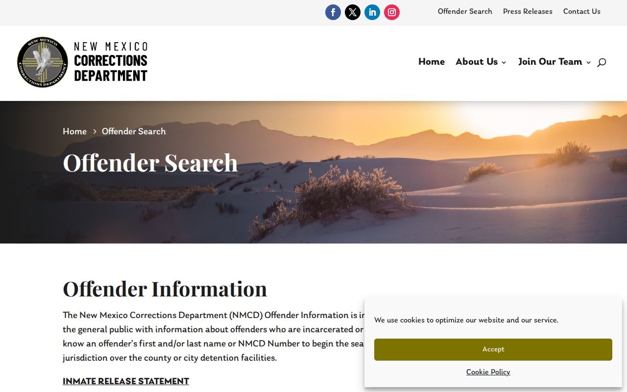
Its official search is for current state correctional information by name or NMCD number, with its own update rules. It does not identify a block’s neighbors, establish an address, or replace verification with the responsible agency.
Roswell Neighbor Watch Contact
The research located a public City contact for Neighborhood Watch and Alarm matters, but did not locate an official Roswell-wide directory of neighborhood associations, HOA members, block-watch members, congregations, or other private rosters. That gap should remain visible. The contact below is a public program route, not a request for names or a representation that any block has a roster.
City Neighborhood Watch/Alarm
Public contact: City of Roswell departments directory
Phone: 575-624-6770
Boundary: Public program contact only. No official membership roster was located.
The City departments directory is the verified source for that public contact.
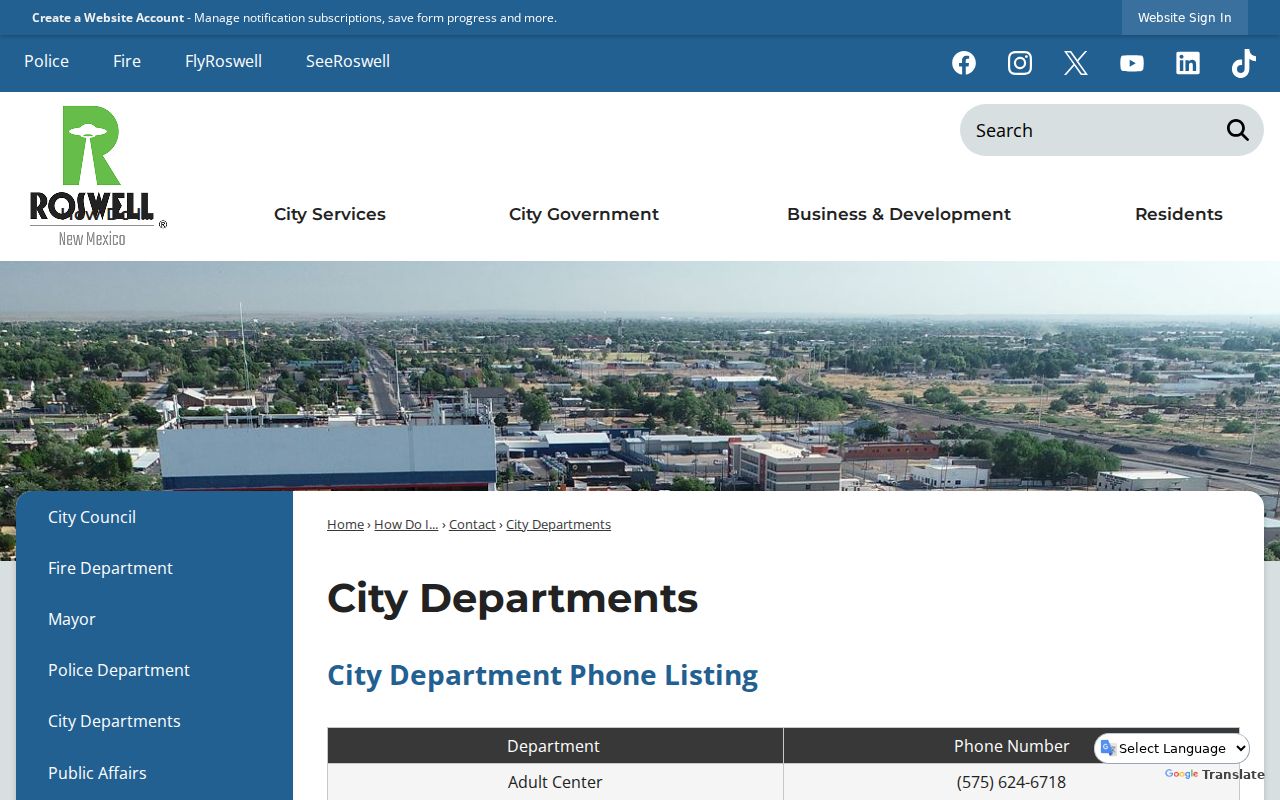
Use the City contact to ask about a public program route or meeting information. Do not ask the City to compile private resident, member, student, patient, or congregant information.
Roswell Neighbor History Sources
Historic neighborhood context has a different standard. The Roswell Public Library’s digitized directory project reports completed material for 1947 and 1971 through 1996, while older listed Roswell volumes run from 1912 through 1936 with year-specific gaps. A reverse or criss-cross section can be useful only if the chosen volume actually includes one. Copy the page, year, street spelling, and any abbreviation exactly before comparing an adjacent address.
The Library also holds Roswell Daily Record microfilm beginning in 1903. A newspaper notice or a dated directory can help place a property or local event in context. It cannot prove an ongoing connection to an address. For a 1905 block layout, the Library of Congress Sanborn sheets show buildings and streets, not a resident roll.
Roswell’s changing municipal footprint is another reason to keep the year beside every historical block result. The City history describes a much smaller 1903 city and later annexations, including a major airport-area addition in 1968. A location that now uses a Roswell address may have had a different city or county context at the time of a printed entry. Compare the volume date with the parcel legal description, a dated map, and the City’s boundary history before treating a historical street line as today’s block.
Note: Historical entries should be reported with their source year because an old address listing is not evidence of a current connection.
Roswell Address File Requests
When a block question concerns a specific public city file, ask for a defined record rather than a broad person search. The City of Roswell NextRequest portal can be used to search published material, submit a request, communicate with staff, and track it. A focused request should name the address, record category, and date range, such as a permit or code file if public.
The City’s public-records process does not require staff to answer questions, create a new analysis, or generate a recurring update. It is also separate from the County Clerk’s recorded-document work. For a permit or code file, confirm the responsible department and expect exemptions, redactions, or unavailable material where the law requires them.
Roswell Neighbor Tools Compared
Official sources are narrower because they identify the record, custodian, and access rule. Commercial neighbor-lookup products, by contrast, may combine older directories, marketing data, and same-name matches. Their broad presentation can look convenient while still mixing people or dates. Use the county or state custodian to check a particular record, and do not turn a category result into a claim about a person.
| Source category | Best use | What it does not establish |
|---|---|---|
| Official parcel and Clerk records | Parcel, owner-of-record, legal-description, and recorded-instrument research | Everyone associated with an address or current physical presence |
| Official City and state request routes | Defined public files under their published procedure | An open block roster or unrestricted personal file |
| Commercial neighbor-lookup category | A prompt to verify a source independently | Accuracy, a current connection, or a lawful reason to contact someone |
The New Mexico Secretary of State Business Services page is an official state filing entry point, but a business record is separate from a Roswell neighbor inquiry.
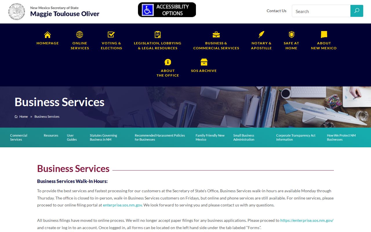
Use a state business filing only for the filing question it answers. A business or mailing address does not establish that an individual is connected with a nearby residence.
Roswell Neighbor Privacy Limits
Privacy rules apply even when a parcel or document is public. Safe at Home protects participant residential, delivery, telephone, and email information subject to the program’s rules. Court Case Lookup excludes documents, addresses, and personally identifying information. Recent vital records have statutory limits, and property data should stay labeled as owner-of-record context rather than a household record.
Do not use an absent public result to make a claim about a person. A source may be limited by law, redacted, date-bound, or designed for a different question. When a legitimate public-record question remains, ask the named custodian about the record class and permitted access route rather than attempting to work around a protected address.
Lawful use. Use Roswell neighbor records for careful property context, local history, or a defined public-record question. Do not use them to monitor, stalk, harass, intimidate, or harm anyone.